- Home
- /
- Programming
- /
- Graphics
- /
- Creating a scale for a GMAP map output
- RSS Feed
- Mark Topic as New
- Mark Topic as Read
- Float this Topic for Current User
- Bookmark
- Subscribe
- Mute
- Printer Friendly Page
- Mark as New
- Bookmark
- Subscribe
- Mute
- RSS Feed
- Permalink
- Report Inappropriate Content
Hi,
I'm creating a series of maps with zip code boundaries. The zips are (theoretically) close to each other but I'm finding out that isn't always the case. It would be useful to have a scale indicating how many pixels and/or inches to the mile, much as you find on Google Maps, etc.
My first reaction is this isn't possible until we know what it will be printed on, but in my case I've already defined a known width and height in inches on the target document size (8.5x11 inches in this case).
Is there a way to generate this?
--Ben
- Mark as New
- Bookmark
- Subscribe
- Mute
- RSS Feed
- Permalink
- Report Inappropriate Content
You could perhaps annotate a scale on the map ... but it would take quite a bit of work to make it generalized, so that it would show the correct distance with any map you might plot. Also, you'd have to make sure your maps are of fairly small areas, such that all areas of the map are to (approximately) the same scale - for example, in a map of the entire US, an inch in the northern states is probably less distance than an inch in the southern states (depending on the projection, of course).
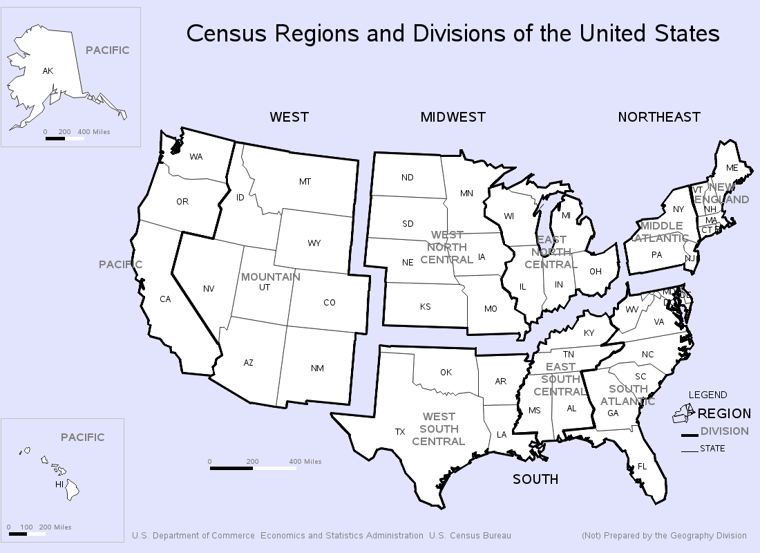
Here's an example where I hard-code annotate a scale (the scale is probably not very accurate - but I was just making it like the original map I was imitating!) 🙂
http://robslink.com/SAS/democd1/census.htm
http://robslink.com/SAS/democd1/census_info.htm
- Mark as New
- Bookmark
- Subscribe
- Mute
- RSS Feed
- Permalink
- Report Inappropriate Content
Hi Robert,
Thanks for the ideas; this application has a varying # of zip codes shown in the same size area on a report, so I won't be able to generalize and insert an annotate entry.
If I come across anything I will post it here.
--Ben
Learn how use the CAT functions in SAS to join values from multiple variables into a single value.
Find more tutorials on the SAS Users YouTube channel.
SAS Training: Just a Click Away
Ready to level-up your skills? Choose your own adventure.


